Use this interactive map to find places to visit around the lake, as well as trip-planning for your time at Lake Hartwell. There is plenty to explore! Lake Hartwell boasts 962 miles of shoreline. The water surface area covers over 55,000 acres, and land area is over 20,000 acres.
Lake Hartwell Map
To use this map, click and drag to navigate to different points of the lake. For GPS directions to the shoreline, click on individual marinas, marked in red. You can also click on the “view larger map” button on the top left to open this map in a full-page view.
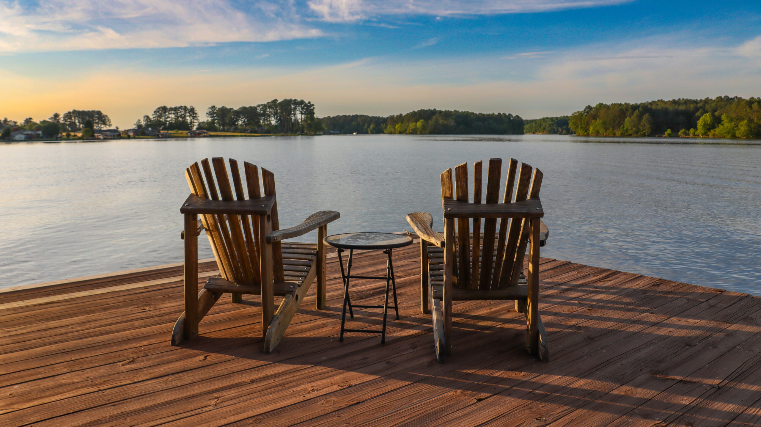
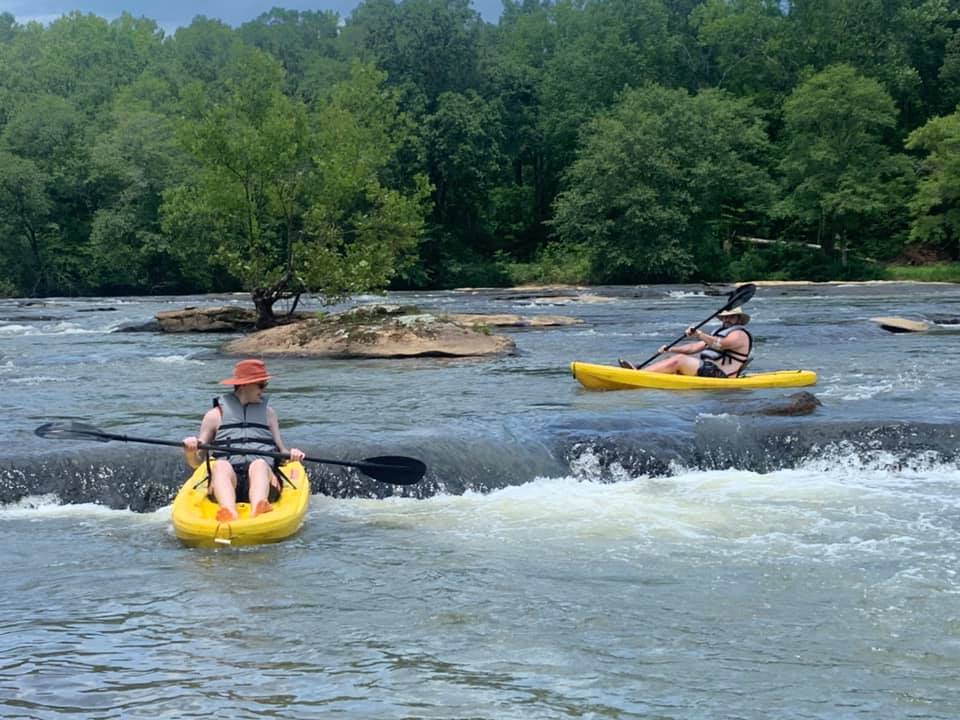
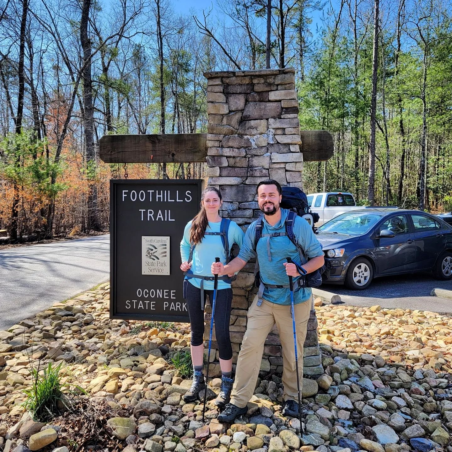
Recreation Around Lake Hartwell
The U.S. Army Corps of Engineers built Lake Hartwell between 1955 and 1963 with multiple purposes in mind such as flood risk management, water quality and supply, fish and wildlife protection, and recreation. Lake Hartwell is one of the most visited Corps lakes in the nation—over 8 million people enjoy the public space around and in the lake yearly. These public recreation areas are marked in the Lake Hartwell map below. Each one offers activities such as camping, fishing, hiking, or more. Use the map to identify the nearest recreation spaces to you, or select the ones you would most like to see.

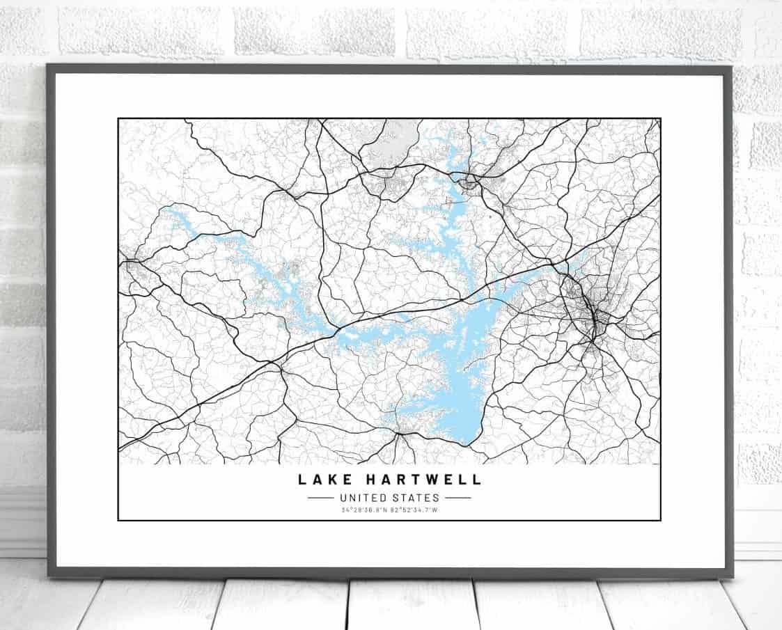
Lake Hartwell Map Print
Check out our exclusive Lake Hartwell map print for your home or office. This 18×24 print is available only in our shop and is shipped straight to you with free shipping. Learn more here.

Lake Hartwell Fishing Map
If you’re looking for a fishing map, try this free version online (or buy their phone app). There you can see water depth and a detailed map of all areas of the lake. Use this to map out your route, explore the lake, and find the best fishing holes.
Recreational Map by Type
This map shows an overview of the leisure and recreation activities by type. Click on the map and you will be directed to a larger version where you can click and zoom to explore the area.
You’ll find the U.S. Army Corps of Engineers recreation areas in red, and USACE campgrounds in green. Additionally, the 31 state and municipal rec areas are shown in yellow, along with the commercial marinas in blue. By using this map, you can tell at a glance where you can camp, rent a boat, or hike.

Lake Hartwell Campground Maps
If you are planning on camping at Lake Hartwell, these maps will be of great benefits. These are the USACE campsites labeled in green above. Each link below is a PDF that will give you a map of the campsite, along with important information such as hours of operation, fees, check-in and out time, and regulations for the campsite.
Lake Hartwell Day Recreation Maps
The below links are for specific Corps recreation areas (labeled in red in the map image above). These locations are available for day recreation activities such as fishing, picnicking, grilling, boating, and other leisurely activities. You can read more information, including rates and annual passes on the USACE website here.
Find your way with one of these Lake Hartwell Maps
And make sure to save this post to reference if you need it again later!

Pin this to your travel board!